The Environmental Protection Agency is relying on MRRI and a two-year grant to determine how contaminants move between the marshes and main stem of the river at selected microbasins in the lower Hackensack River. The study aims to understand the direction and amount of sediment movement under typical tidal conditions.
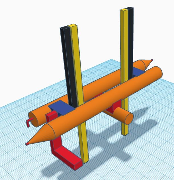
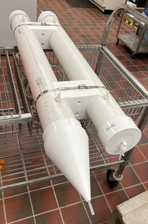
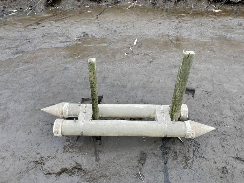
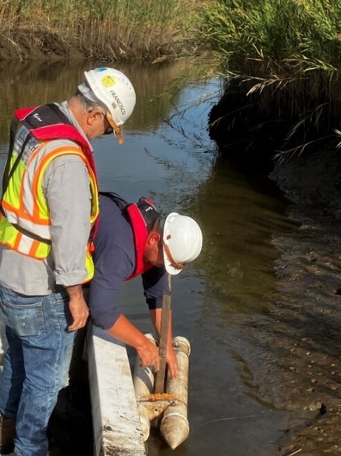
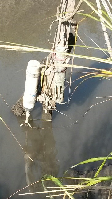
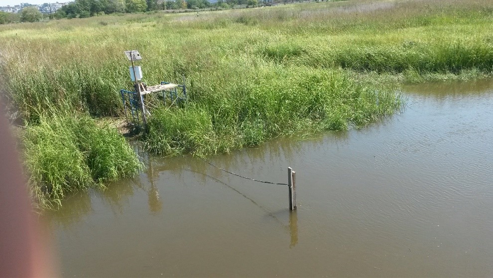
At each drainage point, suspended sediments in tidal creeks will be gathered using time-integrated Philips samplers. Suspended sediment will be collected separately from the ebb and tidal flow to track the prevailing movement direction. Sediment traps will be deployed for an entire lunar cycle to ensure all high tide and low tide events over the sampling period are included. A water quality sonde with a pressure transducer and velocity meter will be deployed alongside the sediment trap to verify and capture any deviations in the flow from sea surge and storms occurring during the time of deployment.
The findings from this study will be used to assess potential risks to vulnerable communities and develop management strategies that prioritize restoration sites to reduce the impact of legacy contaminants on the human population and wildlife in the Lower Hackensack River estuary.