Data Animation

Sep

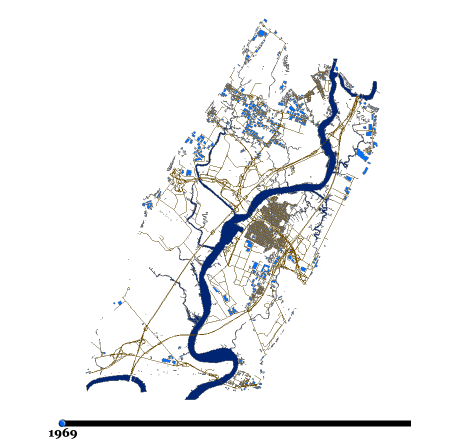
Historical aerial photography from 1969, 1978, 1985, 1992, and 2002 was used to determine evolution of building footprints over time. (Animation - 231KB)

Sep

Simulated flight path using satellite imagery and aerial photography. Travel from the NJ Meadowlands Environment Center in Lyndhurst northward along the watershed to Lake Tappan, before returning southward along the Hudson and Hackensack Rivers. (149MB)

Sep

Three dimensional visualization of the Keegan Landfill. (4MB)

Sep

Three dimensional visualization of a potential landuse consisting of open space. (5MB)

Sep

Three dimensional visualization of a potential landuse containing a golf course, a ball field and a playing court. (5MB)

Sep

Three dimensional visualization of a potential landuse consisting of ball fields, playing fields and playing courts. (5MB)

Sep

24-Hour Hydrodynamic Model animated loop of the Marsh Resources Meadowlands Mitigation Bank, Phase 2. Water depth depicted in feet. (28MB)

Skip to content