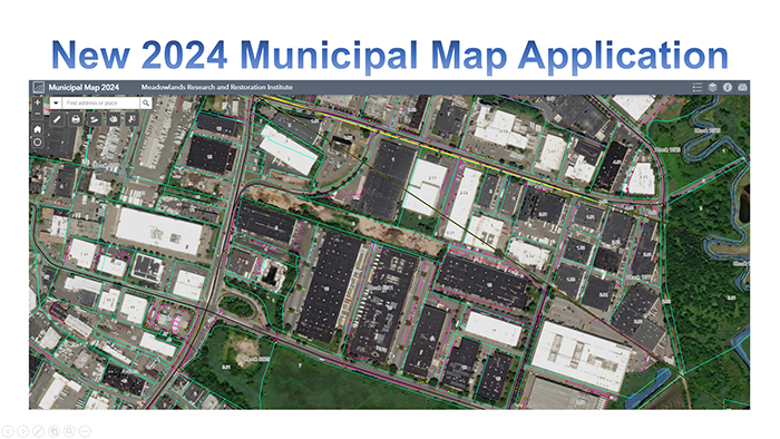
MRRI has developed a new version of the Municipal Map Web Application for ArcGIS Online. This web applications allows users to view GIS information at the parcel level including cadastral, hydrological, tidal, topographic, and utility data.
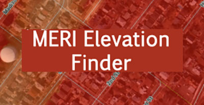
MRRI Elevation Finder
The bare earth digital elevation model (DEM) represents the earth’s surface with all vegetation and human-made structures removed.
MRRI Tide Gate Network
This map provides an overview of the existing tidegates in the Meadowlands District.
Mapping Applications
All mapping applications work best with Google Chrome.
MRRI GIS verified the digital data to the best of its ability. However, MRRI GIS makes no representations of any kind as to its complete accuracy, nor does it guarantee the complete accuracy of any digital data furnished.