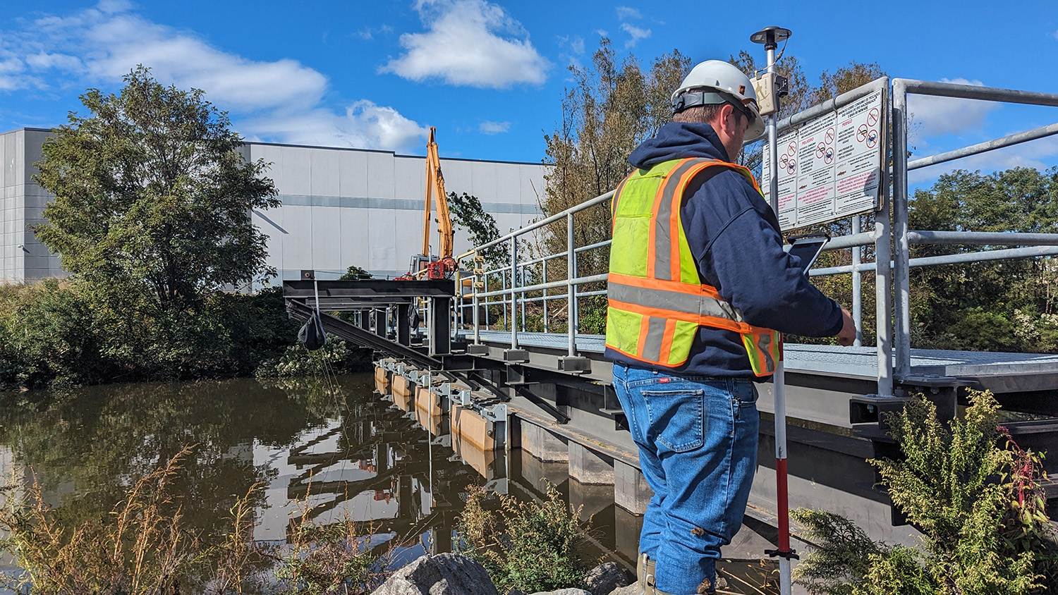
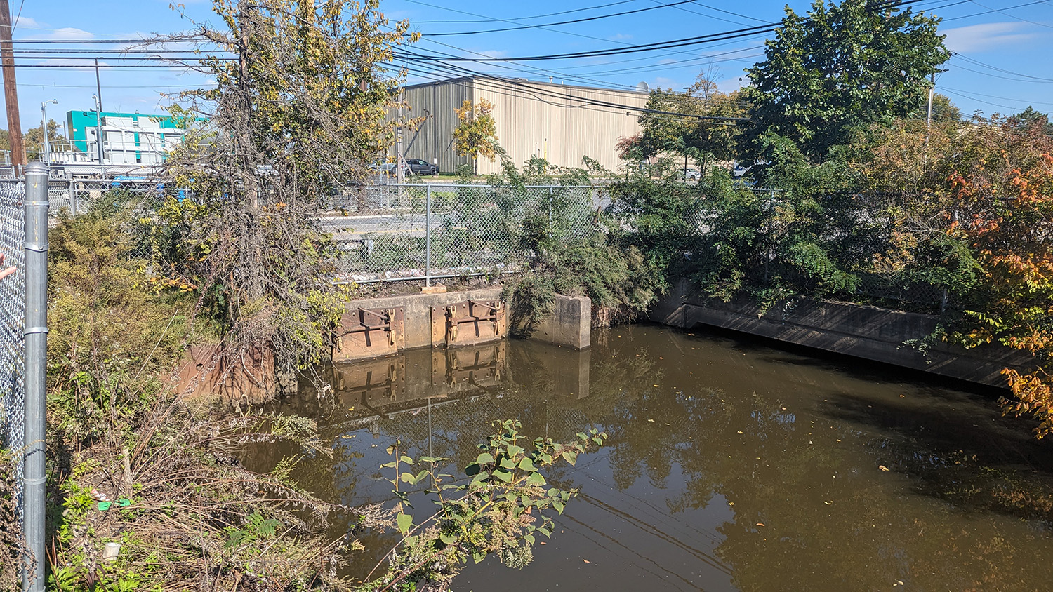
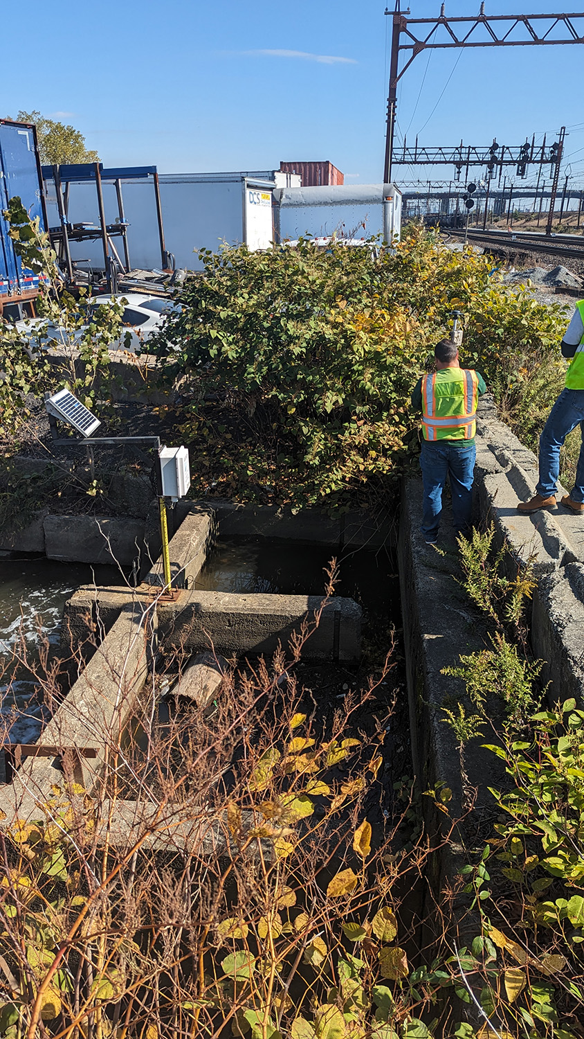
MRRI has started a district wide tide gate and berm inspection campaign in the Lower Hackensack River Estuary. MRRI GIS specialists are working with engineers from Storm Water Management to assess the current status of flood protection structures that are crucial for the area’s flood hazard mitigation. The Hackensack Meadows are historically prone to flooding as the tributary is situated in a glacial basin, where 60% of the area lies within two feet of the high tide watermark according to the 2022 tidal datum analysis. An extensive berm system and tide gates placed on critical creeks protect the residents and business of the Meadows. MRRI completed its storm surge flood map booklet in late 2023 and now we are following up with assessing the state and operation of the tide gates and supporting structures. We use an EOS Gold Arrow survey grade GPS to collect flood structure and flood point elevation data at the tide gates as well as photos and visual evaluation of the operability of the gates. The data will inform the current flood prediction mapping efforts and highlight problematic areas.
The field inspection will conclude by the end of April, 2024.