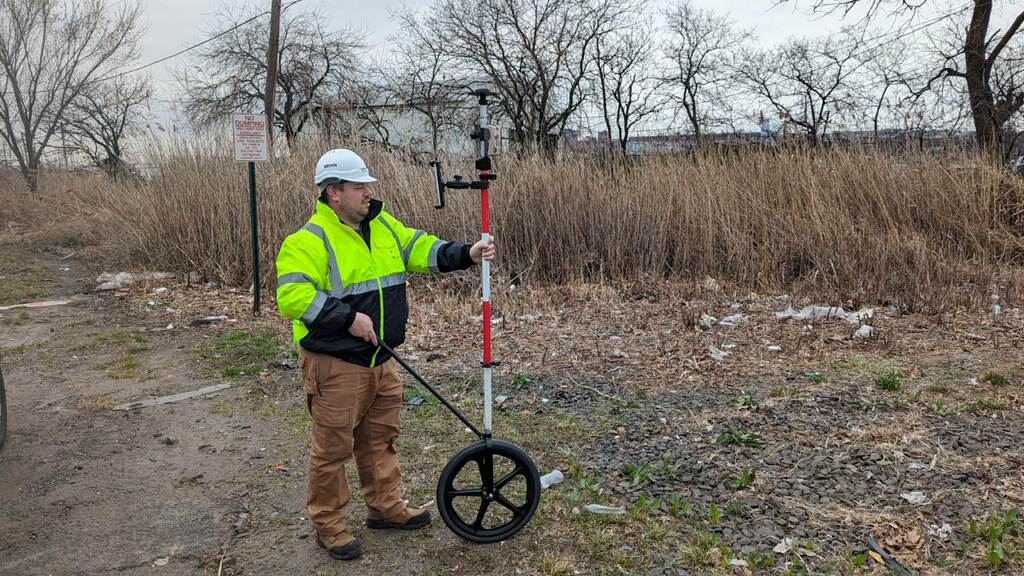
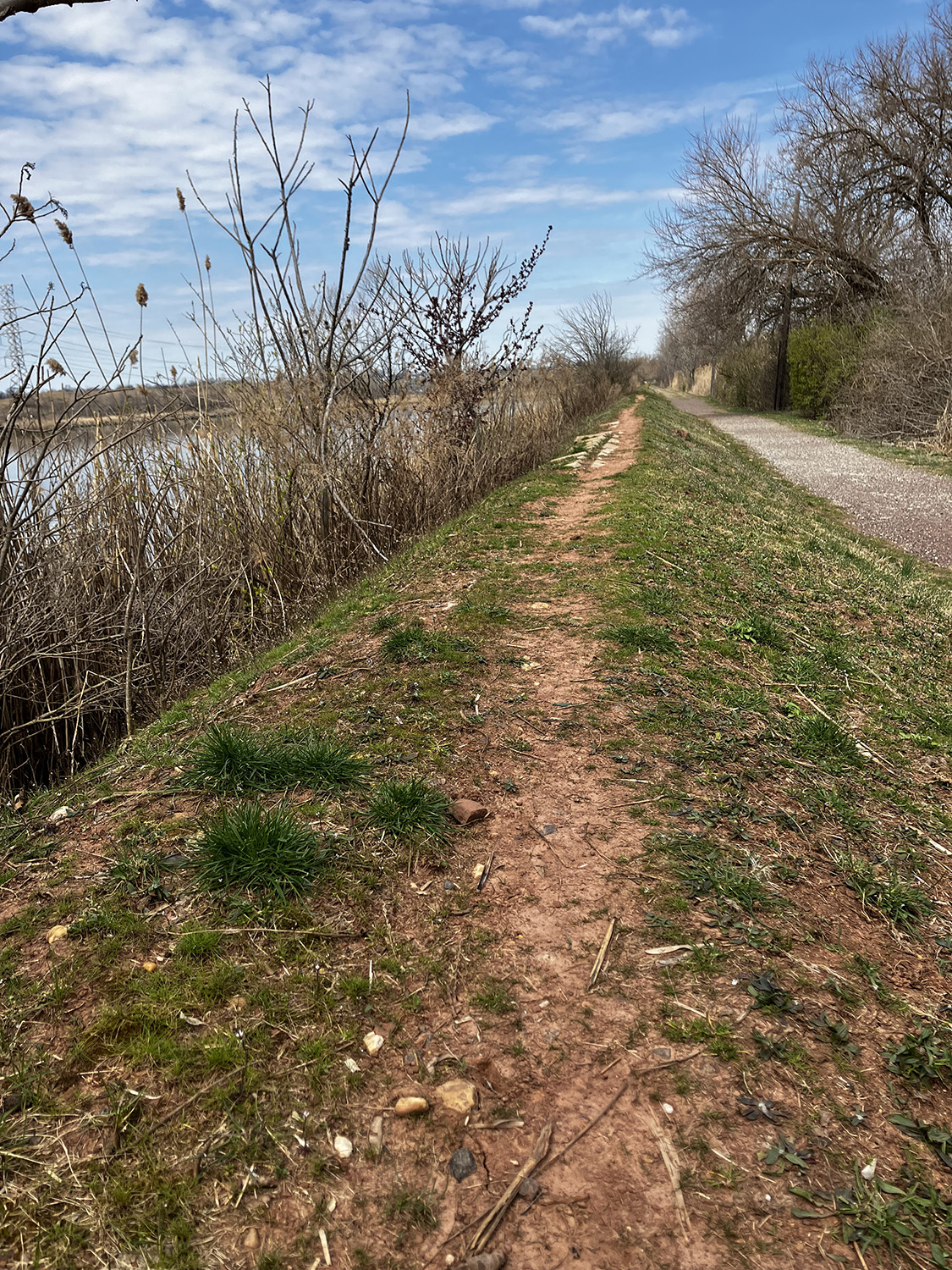
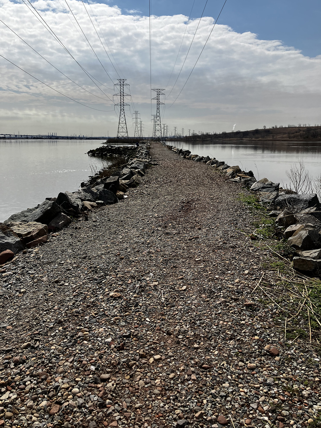
As part of MRRI’s spatial data collection campaign, GIS specialists are surveying trails and berms utilizing a GPS Rover Wheel to optimize continuous surface elevation collection over uneven terrain. The rover wheel construction enables us to collect high quality surface elevation data, as this accessory keeps the rover rod on the surface, while allows surveyors to track a straight line, turn sharp corners, and get over obstacles without needing to interrupt the point collection. Current applications involve berm inspection and trail evaluation and enhancement.