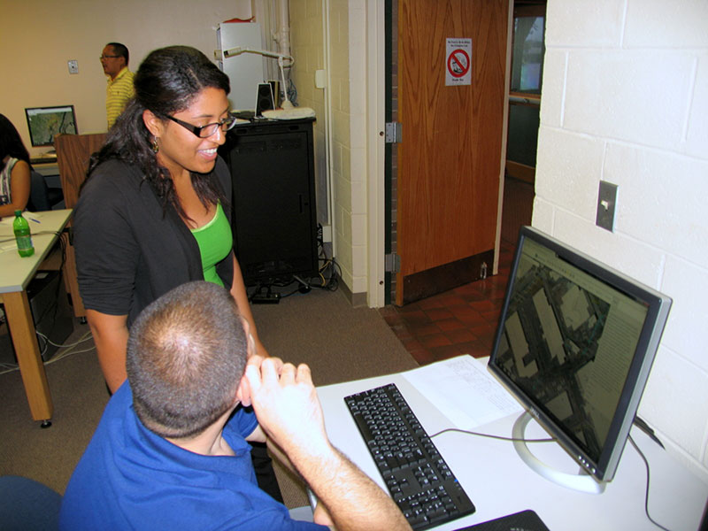
MRRI-GIS will be hosting a series of training sessions for In-District municipalities. The sessions will cover how to use the Municipal Map web mapping application, to get municipal officials familiarized with new tools and to get a better understanding of the overall functionality of the tools available. The second component is the Emergency Response Information System (ERIS) which focuses on emergency planning and pre-planning.