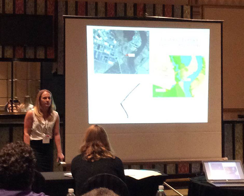
MRRI, the scientific arm of the NJ Meadowlands Commission shared valuable work related to the Meadowlands region at the Mid Atlantic Chapter of URISA. This marked the 17th bi-annual MAC-URISA Conference that provides technology-rich moderated sessions, workshops and networking opportunities for GIS professionals. Studies presented by MRRI ranged from spatially explicit flood modeling efforts to Balloon photography of wetlands, GIS and permitting workflow, Hyperspectral remote sensing of marsh vegetation and estuary sediment movement patterns.