MRRI GIS Presents at GPN MAC 2026

Last week from October 21st-23rd, MRRI’s GIS staff had the opportunity to present some of their work at the 2026 Geospatial Professional Network Mid-Atlantic conference in Atlantic City, New Jersey. This year’s conference was an exciting chance to meet with other professionals from across the geospatial industry in order to exchange ideas and experiences that will influence our work moving forward.
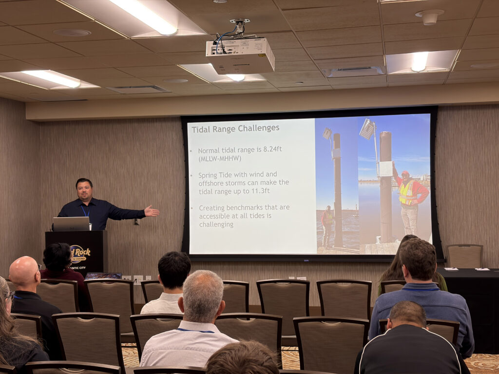
Senior GIS specialist Brian Wlodawski presented MRRI's work collecting survey grade GPS and optical leveling measurements to understand marsh resilience and morphology. He also detailed efforts to align these measurements with historical data and different reference datums.
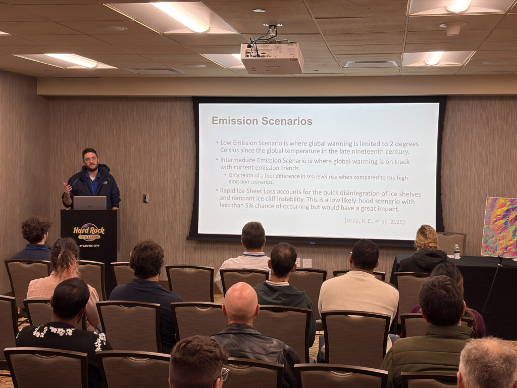
GIS specialist Chris Blackley presented his work modeling realistic flood scenarios in the Meadowlands District in anticipation of future sea-level rise using HEC-RAS, a flood modeling software.
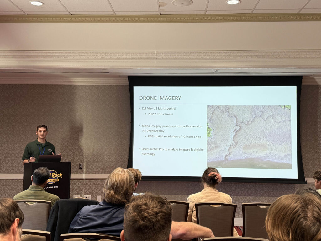
GIS specialist Eric Manke presented his work experimenting with ArcGIS Pro’s deep learning tools in order to create models capable of delineating hydrological features in high-resolution drone imagery.