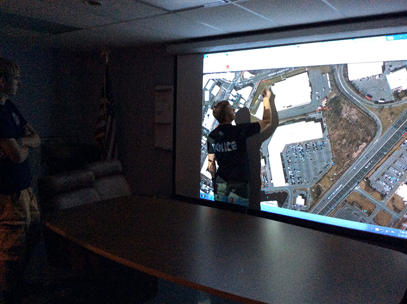
The GIS Team from Meadowlands Environmental Research Institute (MRRI) visited the Borough of East Rutherford’s Fire Station on Herman Street to show mapping tools available from the New Jersey Sports & Exposition Authority’s (NJSEA) Emergency Response Information System (ERIS). ERIS is a mapping tool provided to each member municipalities of the Authority focused on emergency related spatial data. Tools that were showcased included the Borough’s ability to create pre-plan reports, incident reporting, upload photos, view floor-plans and identify hazardous materials found in a building (i.e. substances that are reported to NJDEP’s RTK Program and MRRI provides these reports in ERIS). MRRI also demonstrated the water level alert where responders or town officials can subscribe to this alert (via text message or email), and are notified when flood waters approaches 6 feet. Water level alerts originate from continuous water level measurements from River Barge Marina (Carlstadt). Responders and/or Borough Officials can view corresponding static flood maps, and focus in on areas that may potentially flood. Other focus of the meeting was the use of GIS technology to map out key facilities within the Borough that may require detailed mapping for Police Department use. The outreach program overview sessions will continue through the summer/ fall of 2015, and will focus on meeting with specific groups of the towns.

