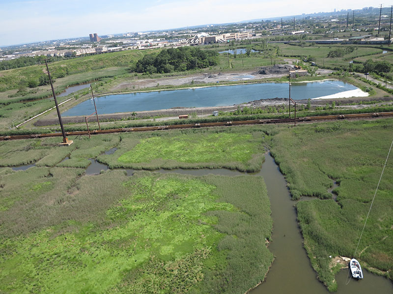
MRRI’s ballooning campaign for the summer of 2015 has begun with acquisitions from Fish Creek, Hawk property and River Bend. The goal is to acquire high resolution true color aerial images of marsh surfaces in the Meadowlands estuary. This season more than 300 acres of marsh surface are planned to be photographed from a tethered balloon less than 400 feet high. The images are used to map the extent of invasive species and to record the location of valuable native species. Balloon images of marsh surfaces have been collected during the growing season since 2005.

