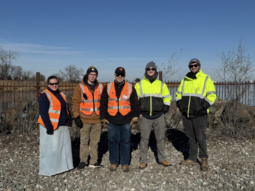
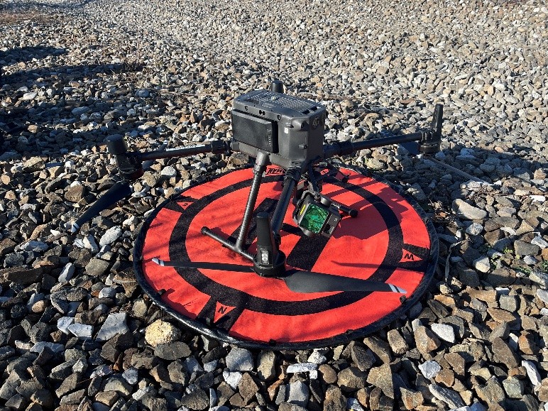
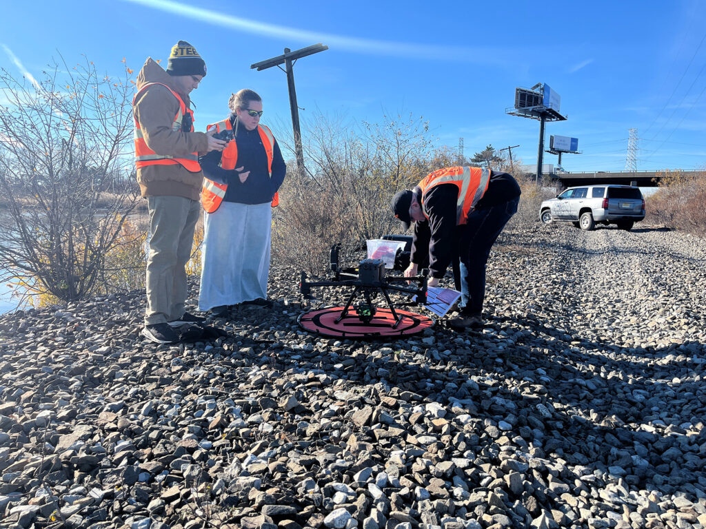
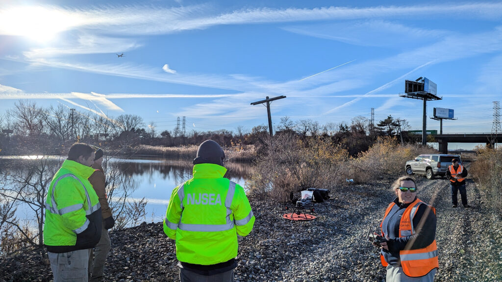
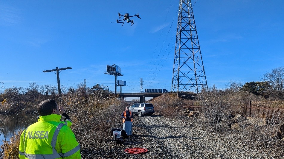
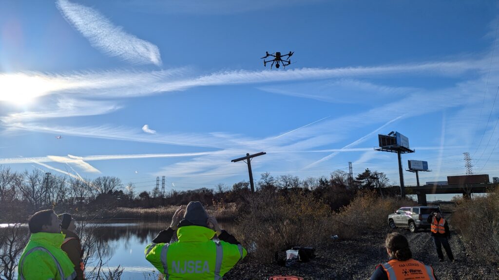
Over the past few months MRRI has had the wonderful opportunity to work with the expert drone team from Warren County Community College’s UAS (unmanned aircraft system) department in order to improve our own drone program & acquire data that we wouldn’t be able to collect ourselves. On December 3rd 2025, the WarrenUAS team came out to the Meadowlands to assist MRRI’s GIS team in collecting a preliminary dataset meant to inform an upcoming NOAA-funded restoration project. Using their medium-lift drone equipped with a LiDAR sensor, WarrenUAS flew over the extensive mudflat systems of the Saw Mill Creek Wildlife Management Area just off the Hackensack River in Lyndhurst, gathering extremely high-quality elevation data. This dataset will undoubtedly be a crucial part of planning the upcoming restoration work. Without the assistance of WarrenUAS MRRI would not have been able to obtain this vital data. As our drone program continues to evolve, we look forward to developing this relationship further.