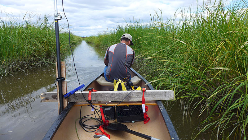
The Meadowlands Environmental Research Institute is working to uncover the depths of the Hackensack River and its branching tributaries. Using consumer grade Vertical Beam Echo-Sounders MRRI is using sonar to collect data to produce digital terrain models of the riverine system. The depth sounding is converted into elevation with the use of RTK GPS in order to create the model. The data will be used for further research on understanding the movement of sediments in the estuary.