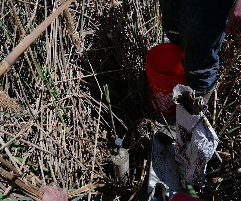
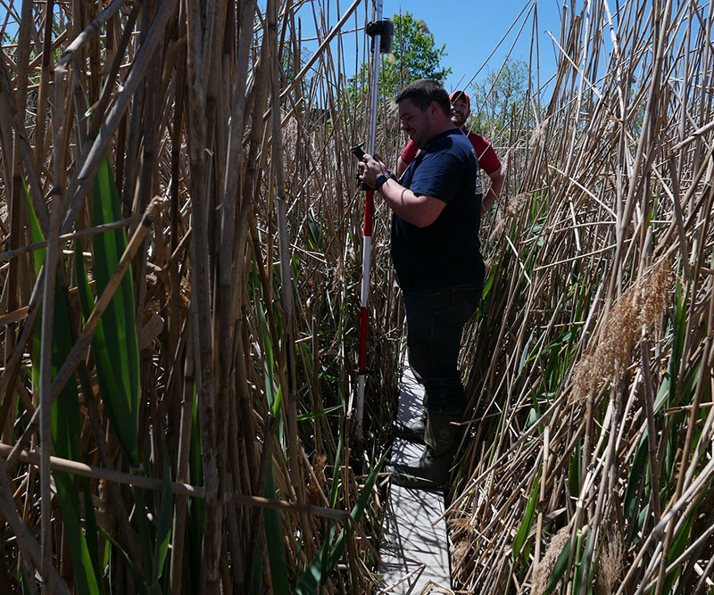
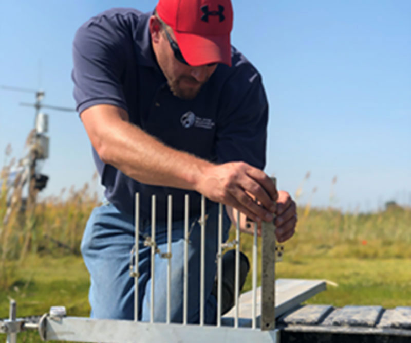
Sediment elevation tables (SET’s) are used to measure increases or decreases in marsh surfaces from sedimentation and shallow subsidence. This method is paired with marker horizon to explain processes behind elevation increases or decreases It provides accurate and precise measurements at an exact location with mm resolution. The technique is based on a mechanical leveling device. There are 10 SET permanent installations in the Meadowlands that go back to 2004., The most comprehensive source for SET background, installation, and measurements can be found at the USGS Patuxent Wildlife Research Center website (http://www.pwrc.usgs.gov/set/)
 “
“