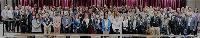
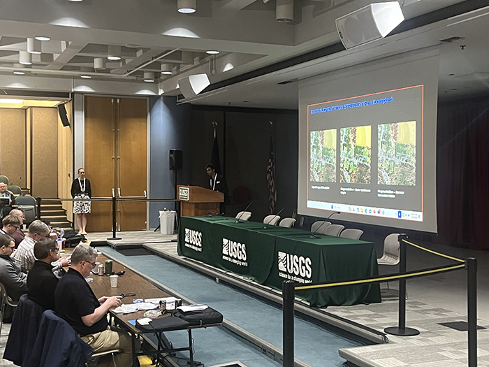
From April 7th to the 11th our GIS specialist Eric Manke had the opportunity to attend the 2025 JACIE workshop on remote sensing, held at the USGS headquarters in Reston, Virginia. The workshop is an annual collaborative effort between a variety of federal agencies (NASA, NGA, NOAA, NRO, USDA, & USGS) to bring together professionals from across the world in order to discuss previous work, current developments & what’s to come in the future for the remote sensing industry.
Attending JACIE was a wonderful opportunity to learn about the many different ways that remote sensing data is being utilized throughout the country, as well as make connections with representatives of various other organizations & inform how we could update our use of this data in our own GIS work. The insights & information we gathered from this workshop will serve to further improve our research & monitoring efforts here in the Hackensack River estuary as we strive to incorporate the best remote sensing data & technology available.