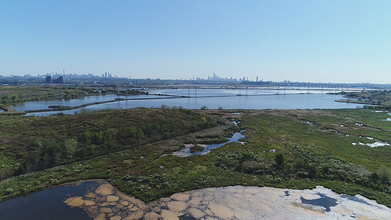
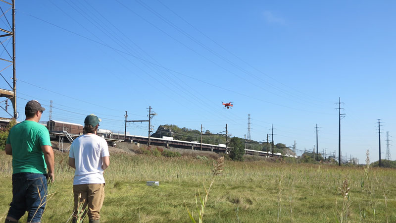
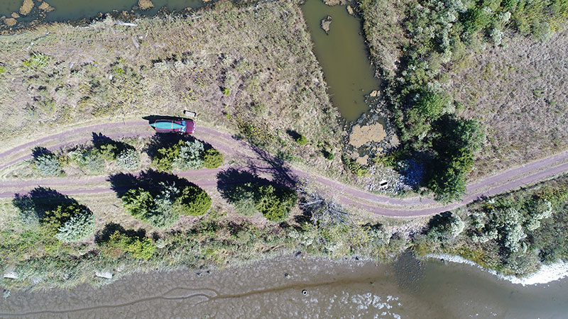
MRRI is using drones (small unmanned aircraft systems) to capture high resolution panoramic and ortho imagery. MRRI’s fleet of drones create image, 4k video, and 3D modeling products. Drones are used for site assessment, creek and ditch inspections, wetlands surveying, identifying marsh plant communities and invasive species, as well as terrain modeling. MRRI has FAA part 107 sUAS certified pilots. For drone project inquiries please contact GIS Specialist Michael Stepowyj. [email protected] OR call 201-460-4693