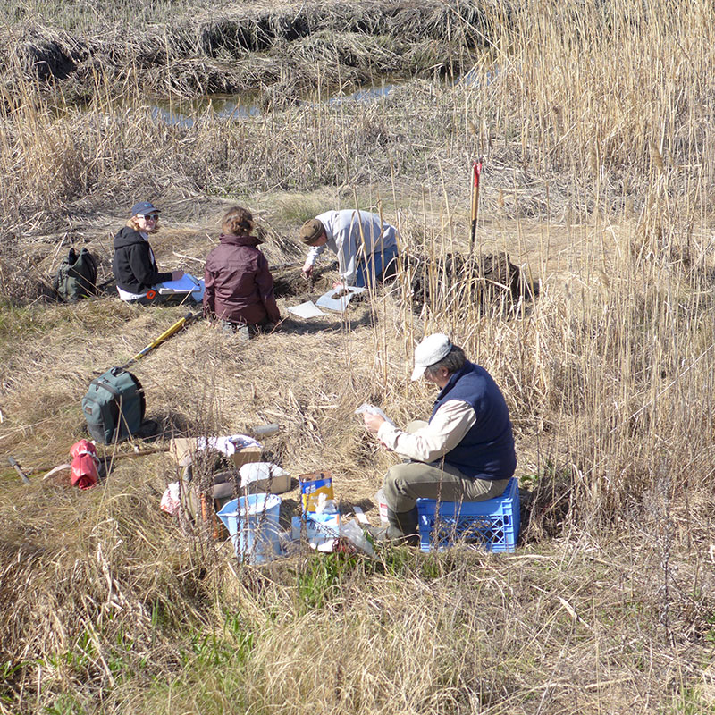
Dr. Richard Shaw, the State Soils Scientist from USDA-NRCS and his staff along with Kathleen Strakosch Walz, a wetland ecologist from the Office of Natural Lands and Management, NJDEP visited one of MRRI’s sediment elevation tables monitoring sites in anticipation of a marsh soil mapping project. According to Dr. Shaw “The objective of this project is to begin collecting characterization data for our tidal marsh soils in a cooperative effort with some of our partner agencies. It will initiate long term monitoring of tidal marsh properties at sites where our cooperators have established sediment elevation tables (SETs) and collected supplemental site information. The New York City Department of Parks & Recreation, the Meadowlands Environmental Research Institute, the Barnegat Bay Partnership and the U.S. Academy of Natural Sciences all have established sediment elevation tables at selected sites in NYC and NJ. Marsh sites will be sampled from these sites by horizon to approximately 2 meters and samples will be sent to the USDA-NRCS Kellogg Soil Survey Laboratory in Lincoln, NE, for complete physical, chemical and mineralogical analyses. The data will help in understanding depositional and pedological processes, and to some extent the anthropogenic effects, taking place in the tidal areas, and provide the foundation for an evaluation of our tidal marsh mapping and for the long term monitoring of soil change”. Read more..