On June 5, MRRI GIS personnel attended the NJ Geospatial Forum.
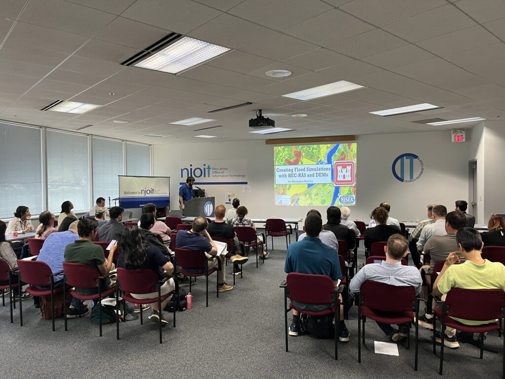
Christopher Blackley presented his animated flood models created using a software called HEC-RAS. These flood simulations use the most recent terrain elevation available to MRRI in order to create animated flood simulations. When completed the simulated flood models display an animation of water over real life terrain and aerial imagery. The model can be set-up to mimic the tidal waters of the Hackensack River or even display what flooding could occur during a major storm event. These models help us understand how to the water flows over the terrain of the Meadowlands which gives us the capability to better analyze flood prone areas. Also, we gain insight to areas that could be at more risk for large storm events to help protect people from future flooding.
GIS specialist Eric Manke presented a talk regarding the incorporation of Digital Elevation Models (DEMs) into MRRI’s terrain-following drone operations in order to produce extremely high resolution imagery.