MRRI’s GIS staff presented at the New Jersey Geospatial Forum’s General Meeting on June 6th, 2024. The Forum is a statewide organization, founded by the New Jersey Office of Information Technology, and it focuses on New Jersey’s geospatial industry. Membership is open to the public and encourages participations of individuals from various sectors interested in the different uses of geospatial information throughout the state of New Jersey.
The Forum’s annual Lightning Talks event provides a platform for open discussion about state-of-the art GIS technology, novel research ideas, and statewide mapping and modelling programs.
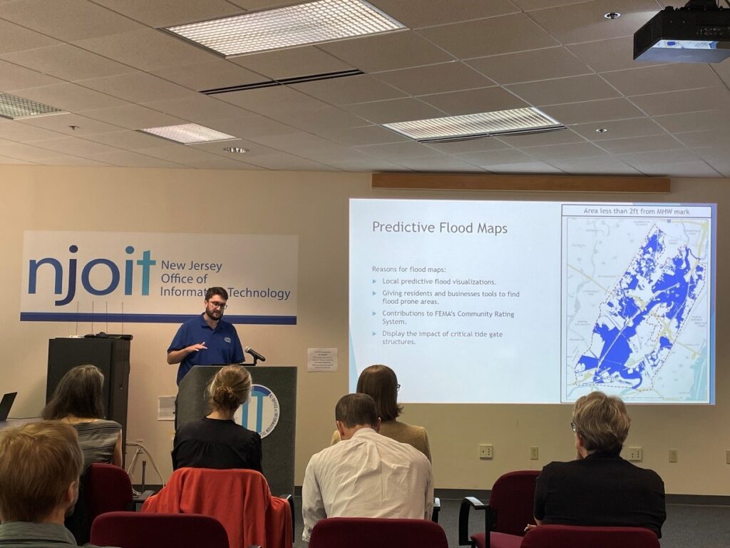
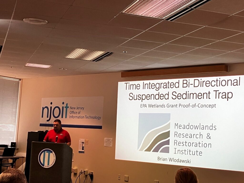
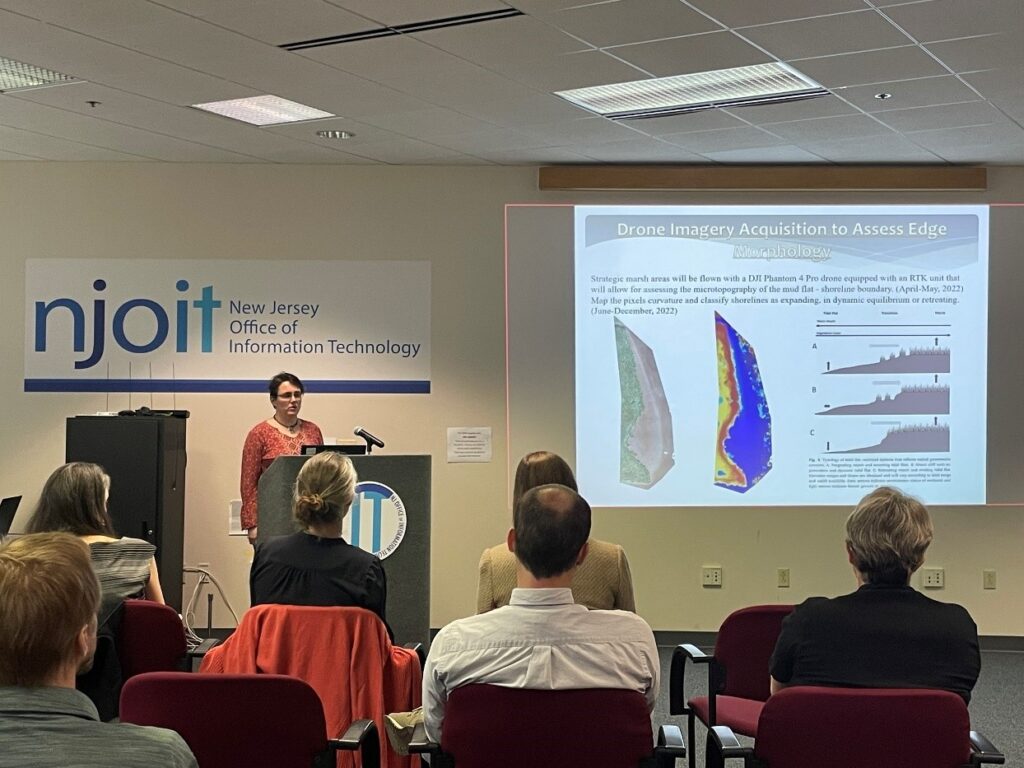
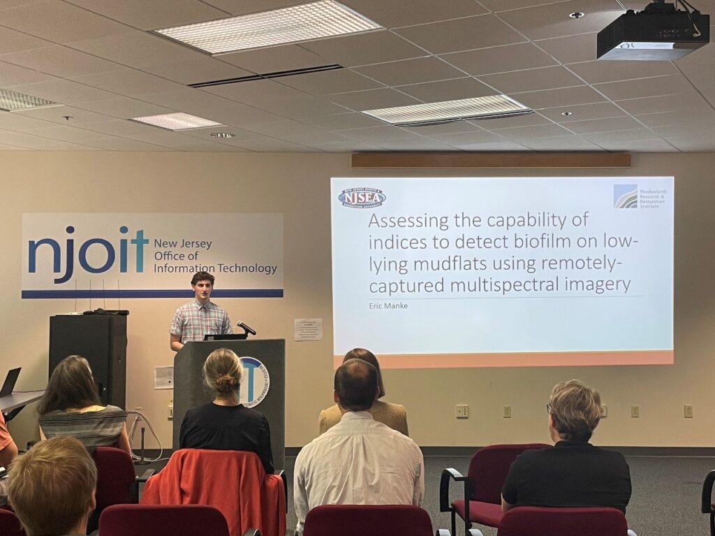
MRRI staff presented a wide range of topics including Localized predictive storm surge flood maps for the Meadowlands district (Christopher Blackley), Time integrated, bi-directional, suspended sediment trap (Brian Wlodawski), Marsh edge morphology assessment using high resolution drone imagery (Ildiko Pechmann), Assessing the capability of indices to detect biofilm on low-lying mudflats using remotely-captured multispectral imagery (Eric Manke).
All presentations were well received and the MRRI staff were invited to take the presentations to the bi-annual conference of the Mid-Atlantic Chapter of the Urban & Regional Information Systems Association that will take place in October 2024 in Atlantic City, NJ.